2012 April

shortly after a successful launch of the camera, the line got stuck in the winder [as it was loose] on the way out … and i almost couldn’t pull the line down enough to untangle it as it was pulling pretty hard!

my sister and I went to Fort De Soto for my birthday..

almost gave up trying to launch the kite and decided to try one more time.. it got up fairly quickly after that and then was pulling pretty hard and a little work to get back down!


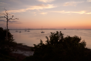
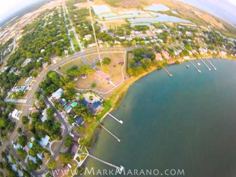
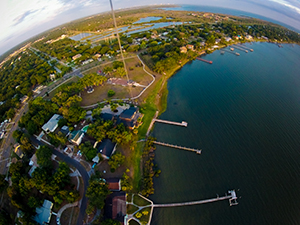
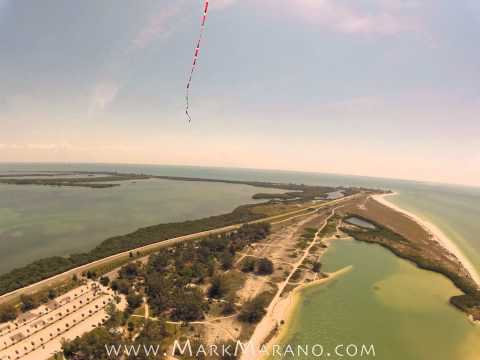
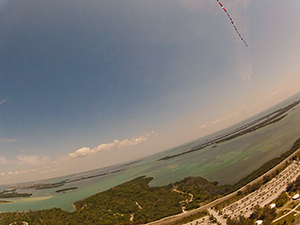
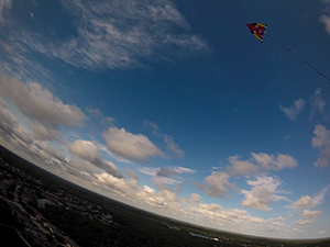
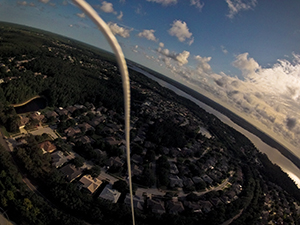
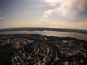
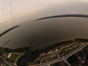
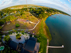
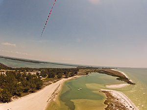
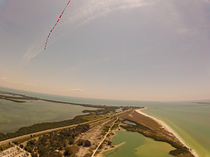
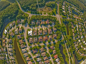
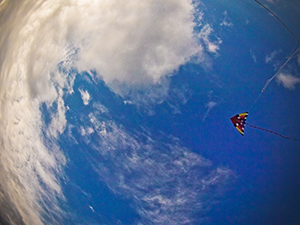
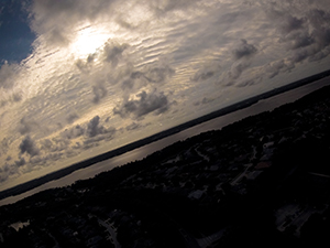
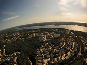
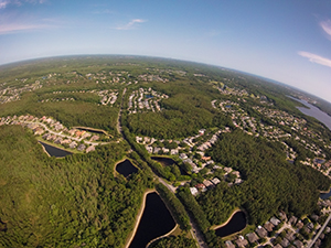
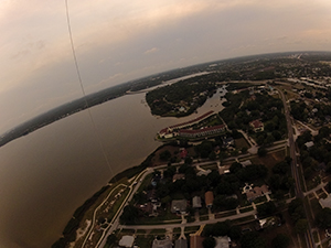
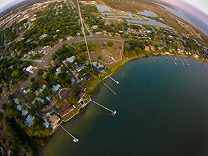
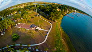
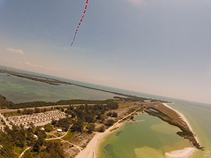
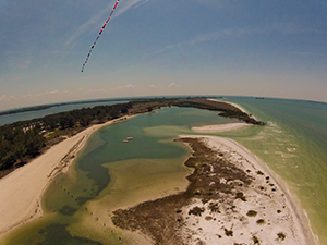
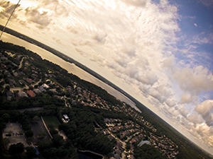
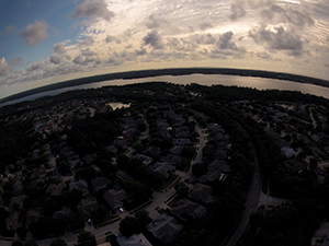
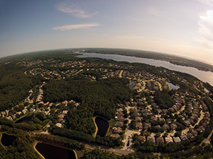
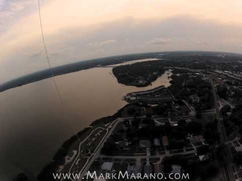
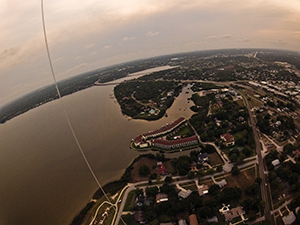
this took a little longer to launch and after the first flight i saw the camera was off when it landed, so had to relaunch to create the time-lapse movie, though I had another successful flight with 1000 feet of line.. I estimate the maximum altitude was close to 900 feet above ground a few times when the winds lifted the kite higher.. you can see Honeymoon Island and Caladesi Island in the distance, and hints of the Bayside Bridge […]

the forecasted 11 mph winds helped the kite lift (with a little bit of help) as I let out the full 1000 feet of line.. I estimate the maximum camera altitude to be near 800 feet above ground. Looking closely at the still shots, I can make out a little bit of the Gulf of Mexico! (most likely the Sutherland Bayou and Smith Bayou – a good 6 or 7 miles by air from the kite)